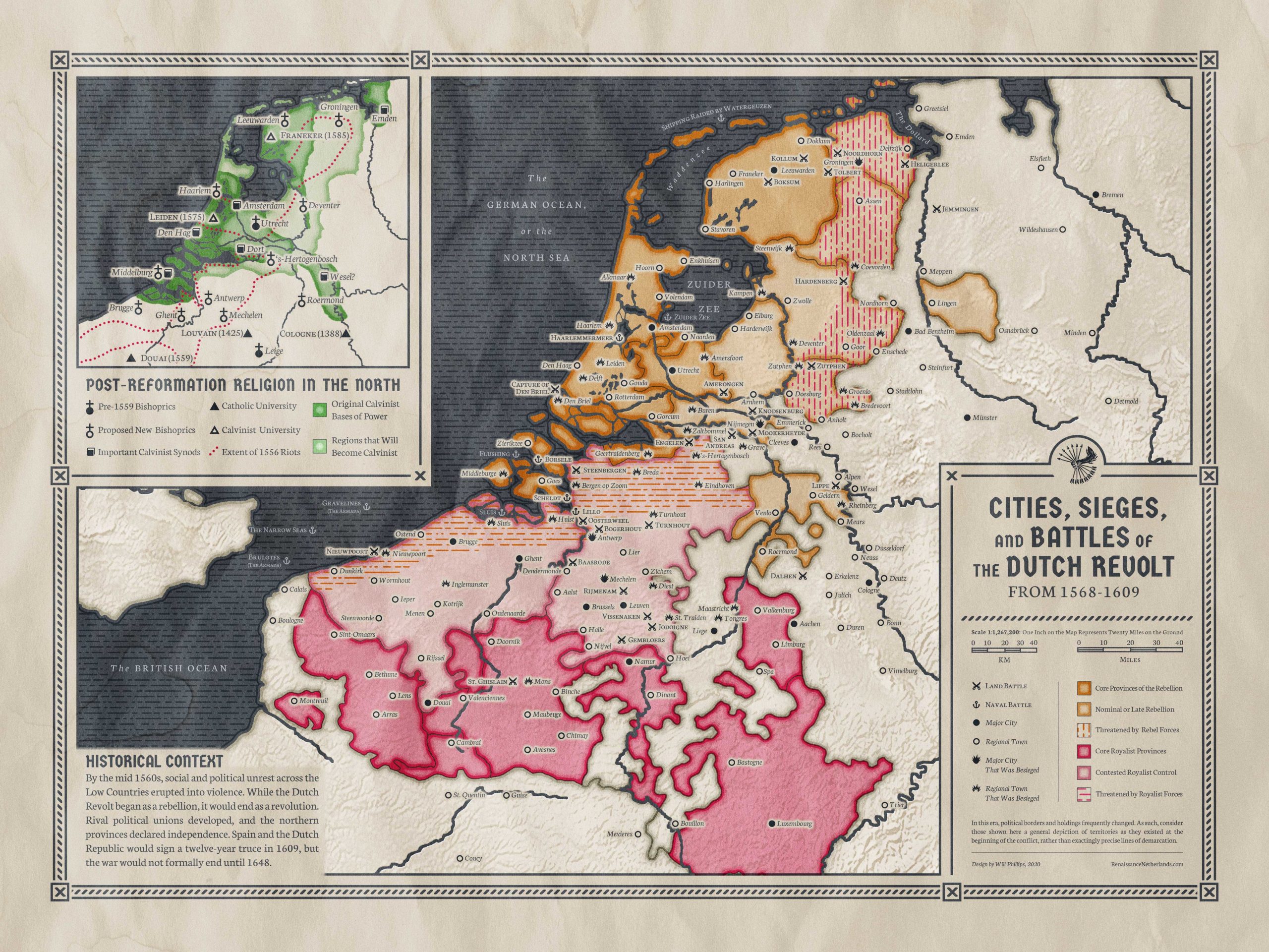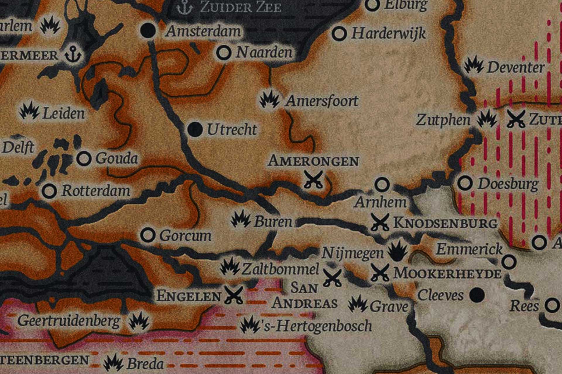
Map of the Cities & Battles of the Dutch Revolt
The Dutch Revolt ravaged the Low Countries: pitched battles were fought in the countryside, dozens of towns were besieged, and murderous pillaging plundered the countryside. Use this map to orient yourself to the locations of significant battles, cities, and towns.
Also includes an inset map detailing post-Reformation religion in the northern provinces.
The following map lists the significant cities and towns of the late sixteenth century Low Countries in conjunction with the battles and sieges of the Dutch Revolt – that first “half” of the larger Eighty Years War which established the Netherlands as an independent state free from Habsburg dominion.
When an international or English-language name is in use, I’ve used it. Likewise, if there were common terms in use historically for cities or geographic features (e.g. the “British Ocean”), I’ve also used those.
If you want an overview of the conflict or need a reference for city locations (which was my own initial purpose in creating this map), then it should be helpful for you.